

Penny’s Bend Nature Preserve
Unique vegetation highlight this long river trail…
Entrance:
The parking lot is located just outside of Durham city limits. Penny’s Bend is not listed in google maps; however, these rough directions from i-85 to the trail have it manually included. Basically, you take exit 177 off of i-85 and go north on Roxboro Road. In about a mile, turn right on Old Oxford Road. In about 3 miles, turn left onto Snow Hill Road and the parking lot is immediately on the left after turning.
Environment:
The Eno River Association has an excellent article about the unique features of the area. The unusual land and soil features account for the river’s oxbow shape and the unique prairie-loving vegetation.
The parking lot is frequently full; however, it is usually from people fishing near the entrance. Even during weekend hikes, visitors may not see anybody on the wonderful trails. Near the entrance are stations explaining the area’s unique characteristics.
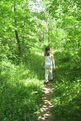
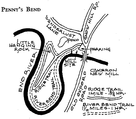
Two trails exist. The River Trail (River Bend Trail) follows the river for the whole Oxbow. The Upland (Ridge Trail) allows a break from the river across a grassy ridge. It is easier to visualize from a map of the area. This map is from the Eno River Association:
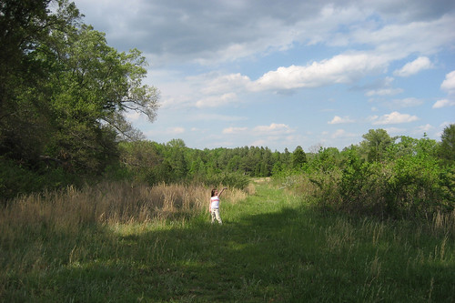
As much as I enjoy walking along the river, the highland trail is actually a nice scenic break…
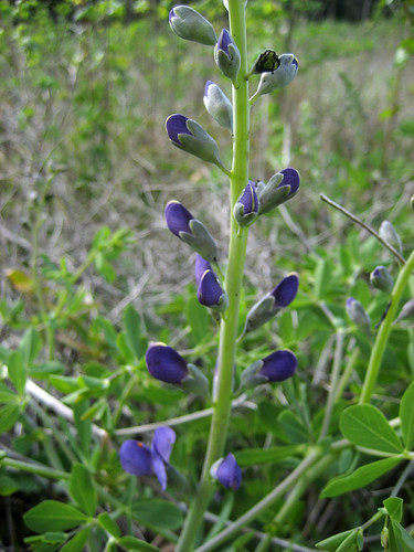
The blue wild indigo is typically found in prairies and plains; however, it grows well in Penny’s Bend as well.
In general this hike is more difficult than the average trails in the triangle. The low traffic and frequent explorations down the riverside can be difficult to navigate. To me the rough terrain is one of the highlights of the area.
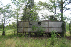
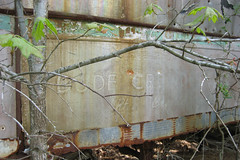
A nearby abandoned trailer is strangely out of place:
Negatives:
- Fishermen frequently leave trash near the entrance.
- The different trails are very poorly marked.
- High tick density
Kid’s Interests:
- Playing along the river
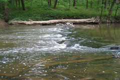
- Finding and exploring small rapids
- Looking for the unique flowers and plants
Details:
- Difficulty: Moderate for this area. Mostly shaded.
- Surface: Natural
- Bicycles: No
- Length: Ridge Trail: 1 Mile. River Bend Trail: 1.5 Miles.
- Blazes: Not currently apparent
Google Maps/Earth:
Pictures:
|
|